Updates, Resources, and Early Warning Labs in the News
See where Early Warning Labs has been covered in the press, learn about recent installations protecting organizations like yours, and find the resources you need to understand effective emergency preparation and early warning technology.

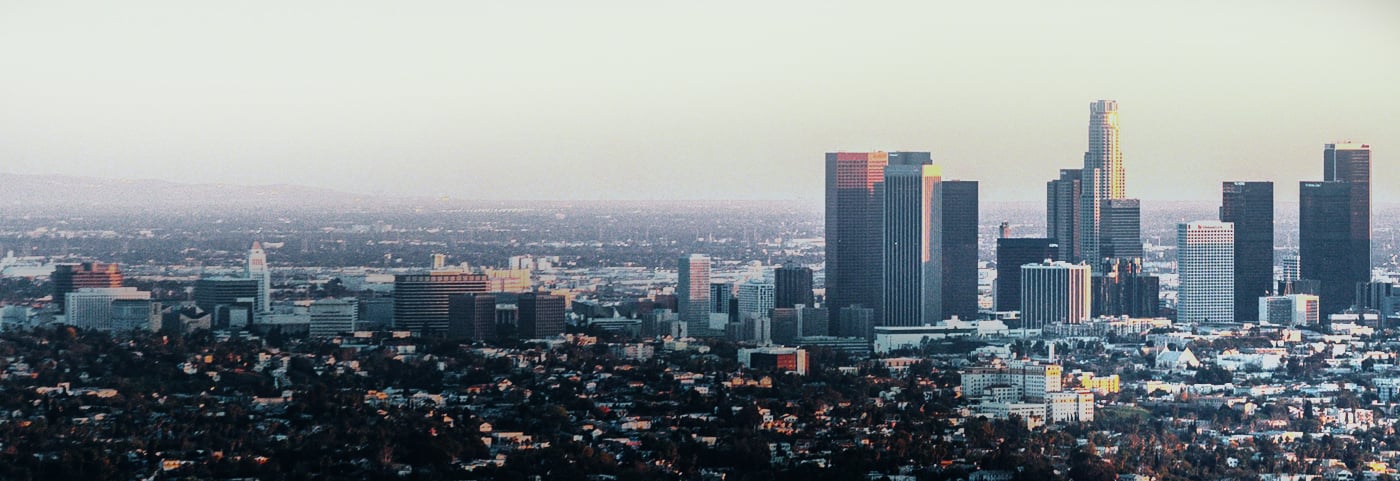
If the 1906 earthquake happened today, San Francisco would get zero warning. Here’s why that makes the seconds everyone else gets even more important.
SF would get no ShakeAlert warning from a 1906-scale quake. But cities farther out would get 5-20 seconds, and what they do with that time affects everyone.

It’s Earthquake Preparedness Month. Here’s what schools should actually have in place.
April is Earthquake Preparedness Month. Most schools run a drill and move on. Here's what real earthquake readiness looks like for K-12 campuses and universities.

What the San Ramon earthquake swarm means for Bay Area facilities
The San Ramon earthquake swarm has produced 162+ quakes since November 2025. Here's what facilities on the Calaveras Fault should know about the risk and how to prepare.

Do earthquakes have a season? What new Caltech research means for facilities in California.
A new Caltech study links groundwater changes to seasonal earthquake patterns in California. Here's what it means for facilities operators.

ShakeAlert is getting bigger. Here’s what that means for the West Coast.
ShakeAlert just expanded to Alaska and a bipartisan funding push wants to fully fund the West Coast system. What facilities operators should know.
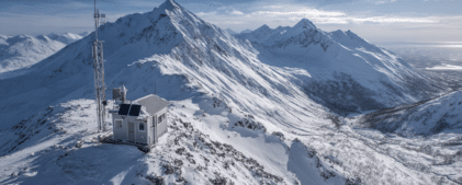
ShakeAlert is expanding to Alaska. Here’s why that matters beyond Alaska.
The USGS published its Phase 1 Technical Implementation Plan for expanding ShakeAlert to Alaska earlier this year. If you work in earthquake early warning or operate [...]