Updates, Resources, and Early Warning Labs in the News
See where Early Warning Labs has been covered in the press, learn about recent installations protecting organizations like yours, and find the resources you need to understand effective emergency preparation and early warning technology.
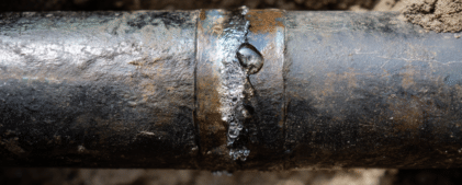
The San Ramon Swarm Stopped. The Damage Didn’t.
Weeks after the San Ramon earthquake swarm, pipe failures and hidden leaks are showing up across the East Bay. Here's what facility operators should learn from it.

The Nevada M5.7 Hit Just Outside ShakeAlert’s Reach. Here’s What That Should Tell Facility Operators.
A M5.7 earthquake and 300+ aftershocks struck Nevada with no ShakeAlert coverage. For facilities inside the coverage zone, it's a reminder to actually use the system.
Federal earthquake preparedness funding is shrinking. Here’s what that means for your facility.
FEMA cuts and the BRIC program cancellation are reducing federal earthquake preparedness support. What facility operators in California, Oregon, and Washington need to know.

The San Ramon earthquake swarm is back. Here’s what facility operators should take from the second round.
A M4.2 earthquake hit San Ramon on April 12, reigniting the Bay Area swarm. What the recurring pattern means for facilities on the Calaveras Fault.
The Boulder Creek earthquake proved ShakeAlert works at 1:41 AM. Here’s what that means for your facility.
ShakeAlert fired during the April 2 Boulder Creek earthquake. But at 1:41 AM, nobody was awake to act on it. Here's what facilities should take away from that.

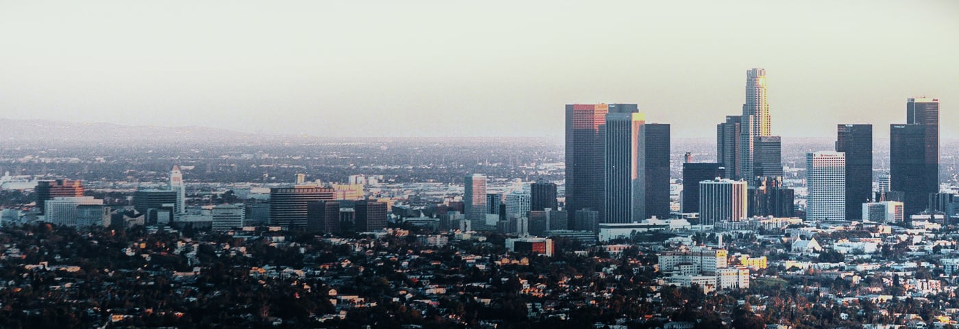
If the 1906 earthquake happened today, San Francisco would get zero warning. Here’s why that makes the seconds everyone else gets even more important.
SF would get no ShakeAlert warning from a 1906-scale quake. But cities farther out would get 5-20 seconds, and what they do with that time affects everyone.